About AASG
Representing America’s State Geological Surveys Since 1908
Connecting geoscience to the issues that matter most

What We Do
Building a Better Understanding of Our Earth
Lorem Ipsum has been the industry's standard dummy text ever since 1966, when designers at Letraset and James Mosley, the librarian at St Bride Printing Library in London


Why It Matters
Science That Protects People, Resources, and the Future
Protects Communities
Provides the geoscience needed to help communities address hazards, manage resources, and plan for the future.

Drives Better Decisions
Provides the data and expertise needed for informed decisions about land, water, energy, and infrastructure..

Informing Public Policy
Supports policymakers with objective, nonpartisan geoscience on issues affecting people, resources, and the environment.
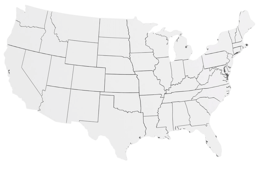
Geologic mapping supports decisions affecting communities, infrastructure, natural resources, and public safety across the nation.
The Cost-Benefit Case
Mapping is cheap. Not mapping is expensive.
Every dollar invested in geologic mapping returns approximately $7–10 in economic benefits. Geological maps provide long-term value through avoided losses, smarter development, and better resource decisions.
7–10x Return on Investment
Geologic mapping generated an estimated $13.9–20.6 billion in benefits from a $1.99 billion investment.
Long-Term Public Value
More than 7 million maps were downloaded or sold, supporting decisions across many sectors of the economy.
Avoided Costs & Better Decisions
Geologic information reduces risks, improves planning, and helps avoid costly mistakes in development and resource management.
Case Studies
Success Stories: Real Impacts Across the Nation
From critical minerals and hazard mitigation to water resources and infrastructure planning, state geological surveys provide information that protects communities and strengthens economies.
-
Earth MRI data accelerates lithium exploration
Lorem Ipsum has been the industry’s standard dummy text ever since 1966, when designers at…
-
Landslide hazard maps after Hurricane Helene
Lorem Ipsum has been the industry’s standard dummy text ever since 1966, when designers at…
-
Mapping the aquifer that supplies 600,000 residents
Lorem Ipsum has been the industry’s standard dummy text ever since 1966, when designers at…